I interrupt my regularly scheduled spring spotlight species post to bring you a new lens of #sciencesaturday. On April 17th, I had the incredible experience to shadow an archaeology survey in a new area of the Preserve. Away from the easily accessible and marked trails, this study was searching for anything that looked like it was changed by humans within the Preserve boundary. As someone comfortable in environmental science and natural history, this was a unique opportunity to go outside my area of expertise and discover a new field. Below, I will take you with me on the day’s adventure and provide a glimpse into a different type of on-going scientific research from the perspective of a novice within the Bull Run Mountains.
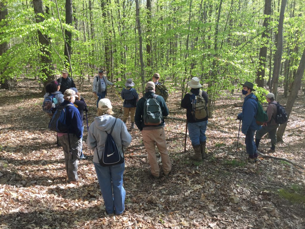
The morning started off brisk and bright. Once everyone arrived and introductions passed, we headed into the Preserve, guided by Professional Archaeologist, Patrick O’Neill. O’Neill is providing professional level services as an archaeological volunteer for the study of the cultural and historic Preserve landscape. He is also the President of the Northern Virginia Chapter of the Archaeological Society of Virginia (ASV) and Vice President of the state ASV. Most of the participants of the survey are members of the Northern Va. Chapter.
I appreciated how Patrick emphasized this phase of the survey was purely pedestrian. He intentionally stressed that although we would walk around the woods to investigate anything unnatural, we should still be respectful of the other wildlife and plants. Because we were within a Preserve, he did not want to rush to a slightly more invasive shovel test. If we didn’t find any evidence of historic activity, such as a cemetery or a foundation, then there would be “no need to do a later 100% inventory because we want to leave nature in place”.
Patrick looking at cemetery headstone using shadowbox method with a jacket and high powered light
"Good experience for people to have looking in the woods... anything out there that's not natural, let's have a look at it" -Patrick O'Neill: Vice President, ASV; Volunteer Archaeologist, VOF
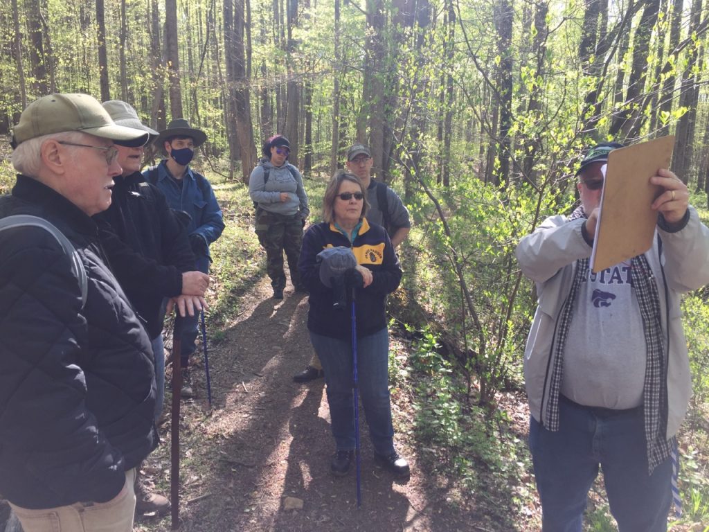
Patrick had several teaching moments along the hike in the forest, where he stopped and explained to the group how to use visual cues to infer a possible story to interpret the landscape. This could be the presence of certain types of trees or a ridge that may look natural but actually came from the construction of highway 66. This is one reason he is confident there is no chance of any prehistoric significance in one spot, and supports using the area as a future parking lot and new trailhead for the Preserve. Based on his archival research looking at aerial photographs and maps from previous surveyors, Patrick knows, “there is so much potential out here, but we should be able to see something if it’s there. We want to see what’s not there and what is.”
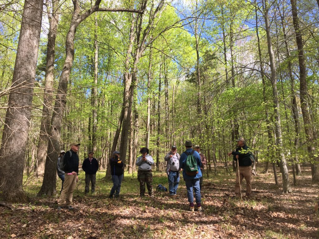
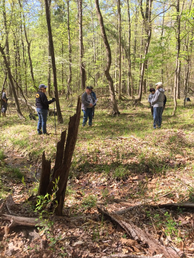
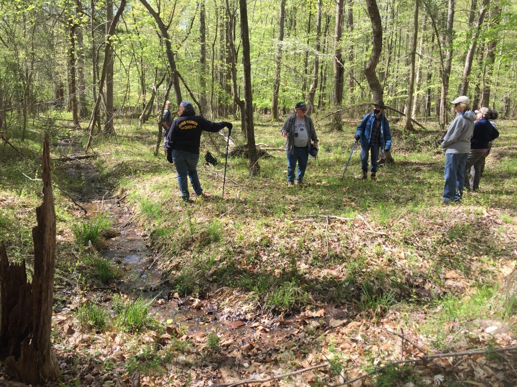
Once we reached the area to survey, I learned how we planned to walk the field using transects. From his predesignated location, we lined up at the blue and white striped marking flags Patrick used during his previous survey (you always want to use distinctive flagging colors to know your information apart from anyone else who is doing research or investigating within the same area). He spaced us out about 15 feet apart with one person tasked to follow his previous transect flagging and everyone oriented alongside them. Then we were faced with an impossible task: try to walk in a straight line through the woods.
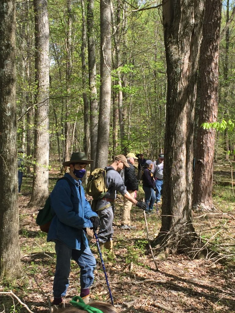
Walking a transect in a straight line
View from one of my routes
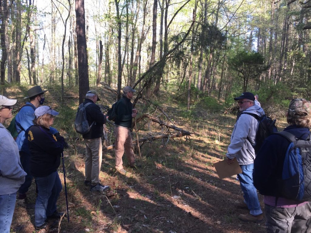
Disclaimer: this was drastically harder than I expected. Dodging fallen trees, going around thorn tangles, and hopping over swamps were just a few of the natural obstacle courses awaiting our group… all while maintaining the 15-20 feet spacing between people as best you can so hopefully all the ground was scanned. Naturally there was some drift, and we reset as necessary. Whenever someone found something that needed further investigation, we hollered for Patrick or dropped our bag to mark our spot so we could return to it after we went to see what someone else found.
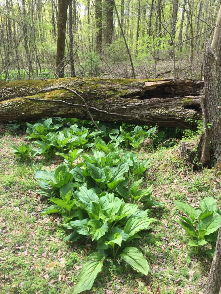
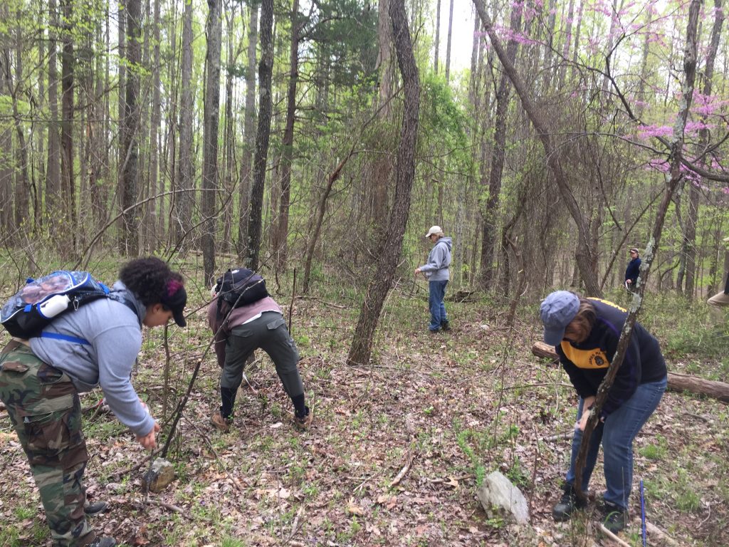
Now how did we know what to look for (I’m still not totally certain)? Things like piles of rocks, old roads, trash piles, quarries, campfire rings, cellars… or something that made you scratch your head and ask, “how did this get here?” Looking in root balls of fallen trees was one area that was easily distracting, but Patrick was quick to keep us on track if we weren’t seeing something obvious within a few seconds of scanning. He said we did not have to be as exact at this level of the survey and our main goal was to cover as much ground surface as possible at this early phase.
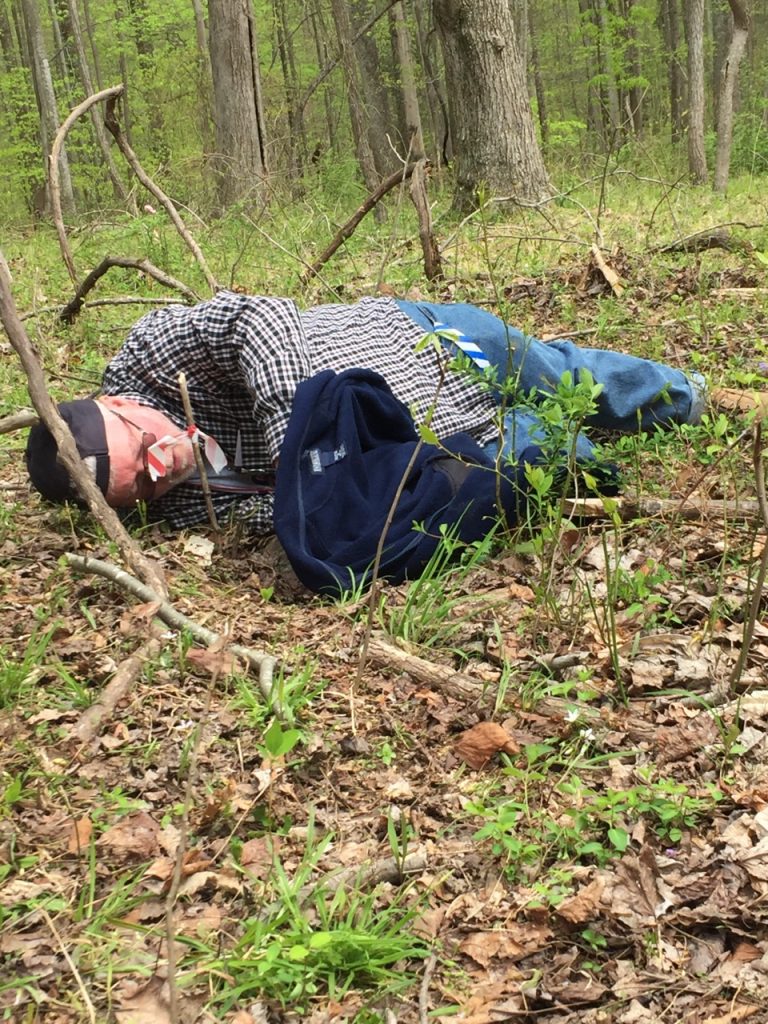
This is why you wear boots and long pants
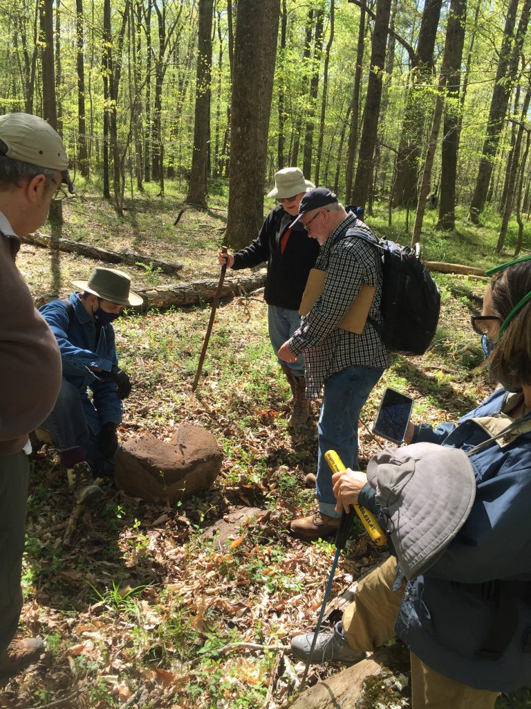
Pondering a large shaped rock
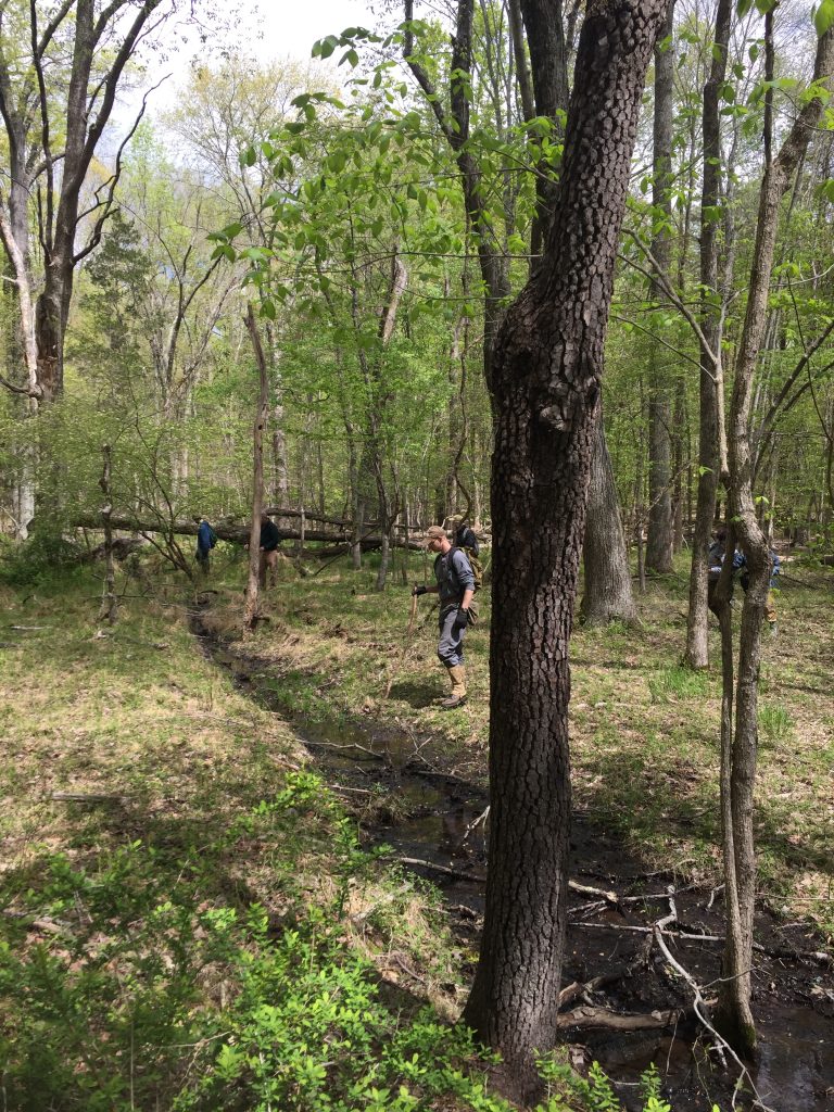
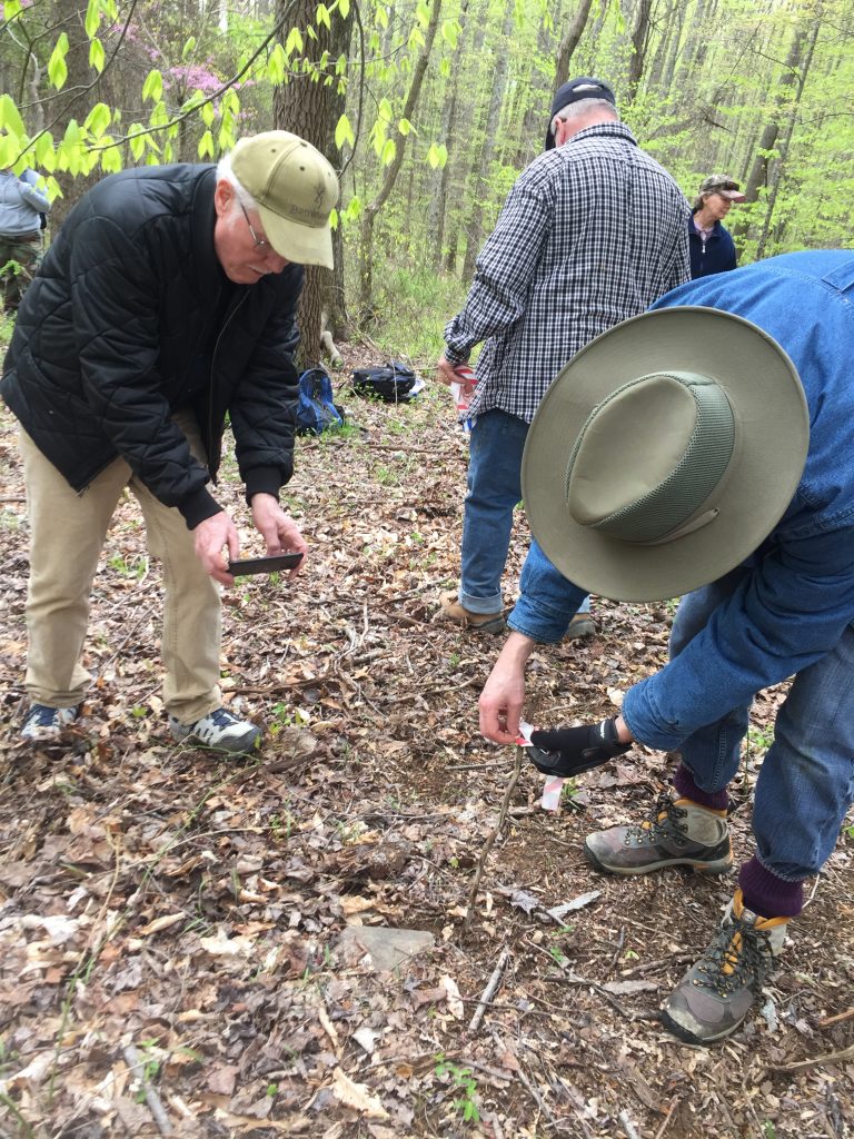
When we did identify something second-look worthy, Patrick came over and took the GPS coordinates and a picture of the find. One area of note was a plot where water from a natural spring or seep had been intentionally diverted. The channel was in a very straight line around a triangular piece of land. This could have been a garden with an old fence, or maybe a pen to keep livestock like pigs or goats. Patrick’s take was “it has to be for water, but why?” This type of investigation can lead to fun imaginative and creative guessing, and so after pacing out and recording the dimensions of the intriguing boundary, we pushed on.
Found something, but what is it?
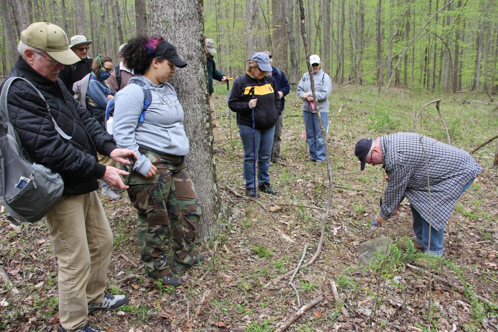
Finally we arrived at the cemetery we hoped to investigate: final resting spot of Francis Feagan (died 1801)! The first order of business was to find the graves by their head/foot stones. Patrick taught us to look for any vertical stones that were slightly stuck in the ground. If a rock was on top of the ground or easy to move with the toe of your shoe under light pressure, then it was less likely to be a marker. Since we did not have pin flags (tiny flags that would be minimally invasive), we used narrow sticks and tied flagging to the top and stuck those near the rocks. These flags were placed at every credible rock we found in the nearby vicinity, 23 in total once they were all counted. Then, after every rock was subjected to interrogation, we recorded the dimensions of the area from the farthest rock out. Each rock was then photographed from the front and side.
Flagging all the stones
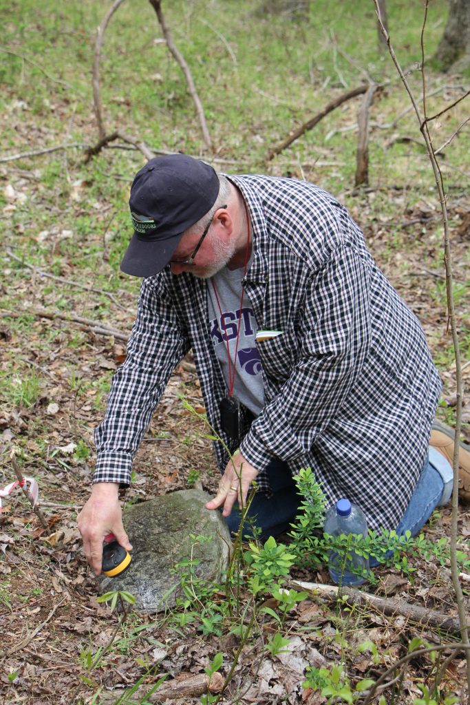
To wrap up, Patrick taught the group a new method for being as minimally invasive as possible when trying to read the faded markings on a headstone. Anything added to the surface, like sprinkling flour/sugar/salt in the grooves will increase algae growth and degrade the rock at quicker rate. Instead, Patrick poured some water on the stone. With an imaginary angelic choir singing in the background, the sun poked out and we could much more clearly see ‘F. E. 18’something. What a neat trick!
Using water to see faded inscriptions
After a day of wandering the woods, I left with more questions than answers. Who else lived back there, how did they survive, and how many ticks did they pick off their pants each day? In all seriousness, there are plenty of way more scientific and culturally relevant questions to continue to investigate. Luckily, Patrick will keep surveying the areas around the Preserve before it gets too overgrown this spring. I am very excited to see what else he finds and what happens next!
Now the only important question left: which way is the exit?
Special thanks to all survey attendees, and a huge shout out to Patrick O’Neill for including me and making me feel welcome! All images are from Becky Conway